ConductVision Enterprise
Forestry & Natural Resources
Detect wildfires early, monitor forest health from canopy to corridor, and protect ecosystems with continuous visual surveillance.

Forest management and natural resource protection span enormous geographic areas where conditions can change rapidly and delayed detection is costly. Wildfires that escape initial suppression become far more expensive and dangerous, illegal logging operations exploit gaps in patrol coverage, and wildlife corridor disruptions go undetected until population-level impacts become evident. ConductVision's technology can extend visual monitoring across forest and natural resource environments using tower-mounted cameras, drone platforms, and satellite imagery analysis. Early wildfire detection, deforestation change detection, logging operation safety monitoring, and wildlife corridor surveillance can operate continuously across areas too vast for human patrol alone.
The challenge
Wildfires detected within the first fifteen minutes of ignition can typically be suppressed with minimal resources, yet remote ignitions may burn undetected for hours in areas without camera coverage or observer presence. Illegal logging operations are difficult to distinguish from authorized harvest without continuous monitoring. Wildlife corridors and protected areas face encroachment from development, poaching, and unauthorized recreation that intermittent ranger patrols cannot fully deter.
Our approach
ConductVision can process feeds from fire lookout tower cameras and elevated platforms to detect smoke plumes and thermal signatures in early-stage wildfires across wide observation fields. Drone and satellite imagery analysis can detect deforestation patterns, unauthorized road construction, and land clearing. Wildlife cameras can monitor corridor usage patterns and detect human encroachment in protected zones.
AI detection for forestry & natural resources
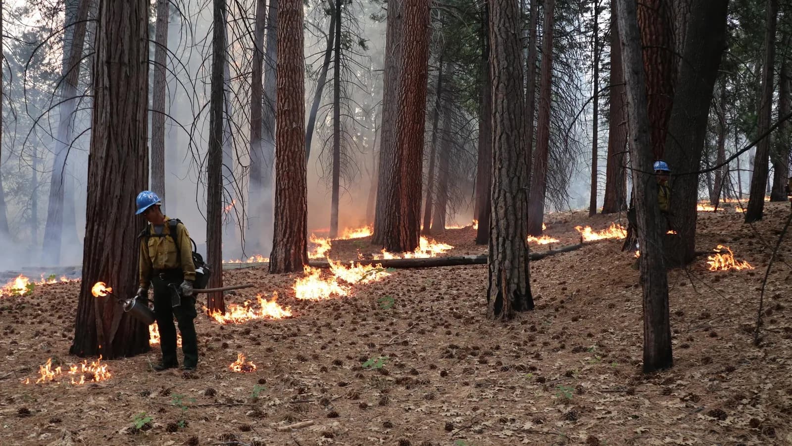
Fire & Smoke Detection
Detect visible flames and smoke early, a visual layer that complements existing fire alarm systems, available for pilot.
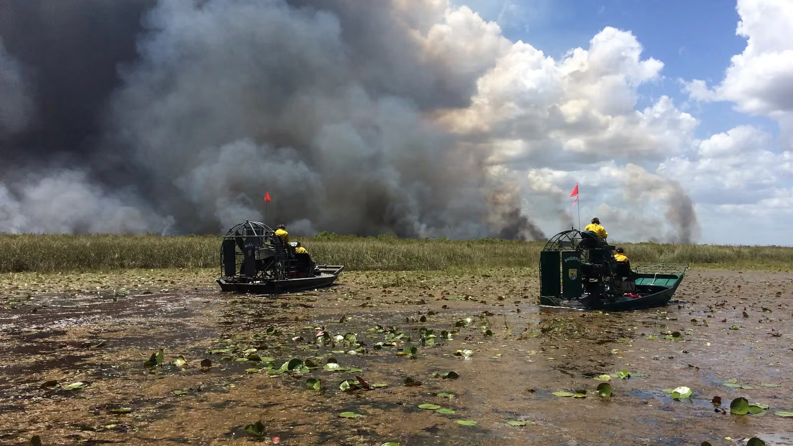
Environmental Monitoring
Water levels, flood risk, vegetation health, and erosion, visual intelligence born from ConductScience's environmental research heritage. Available for pilot.
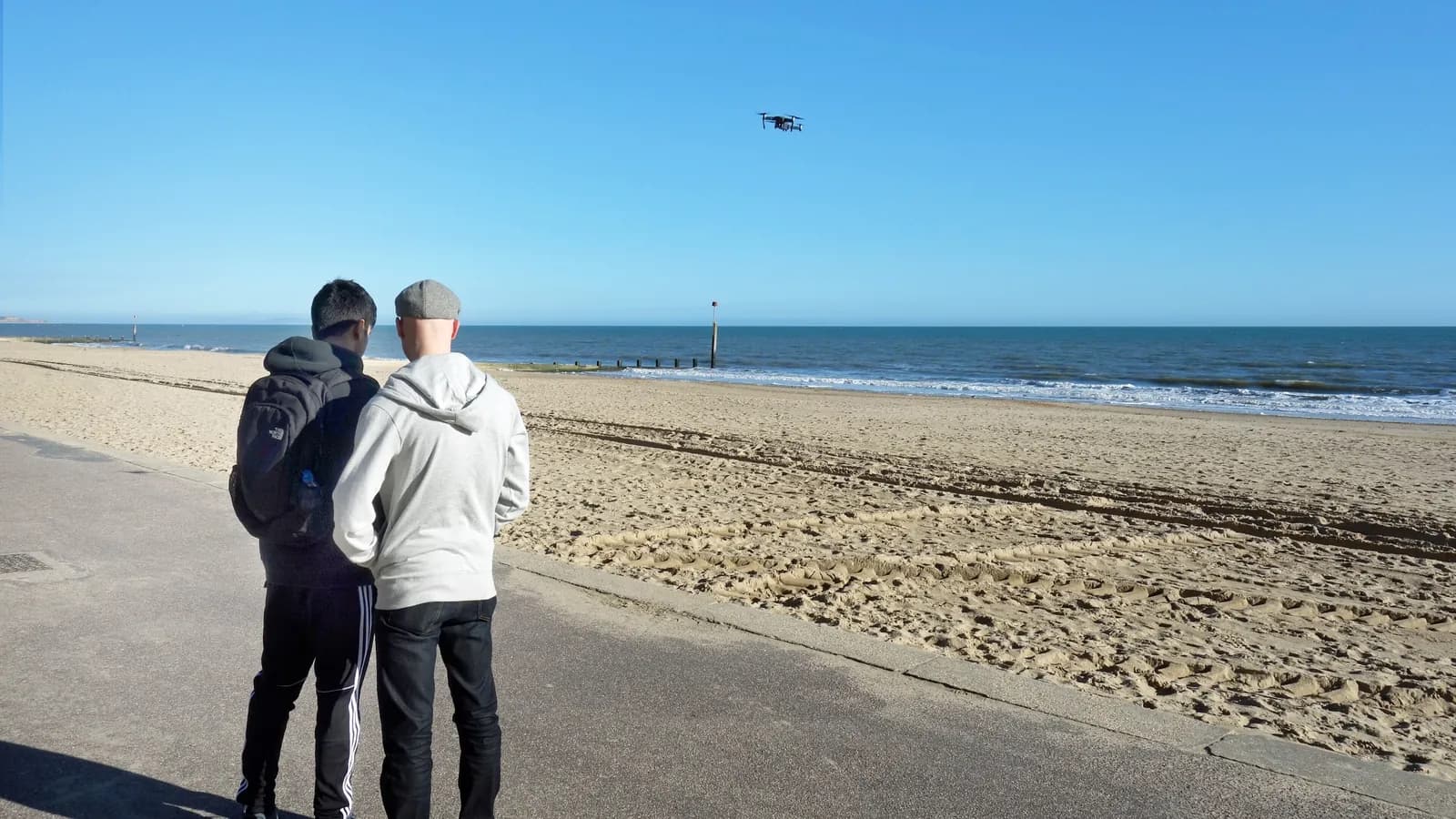
Drone Detection
See, classify, and track unauthorized drones before they reach your perimeter. Available for pilot.
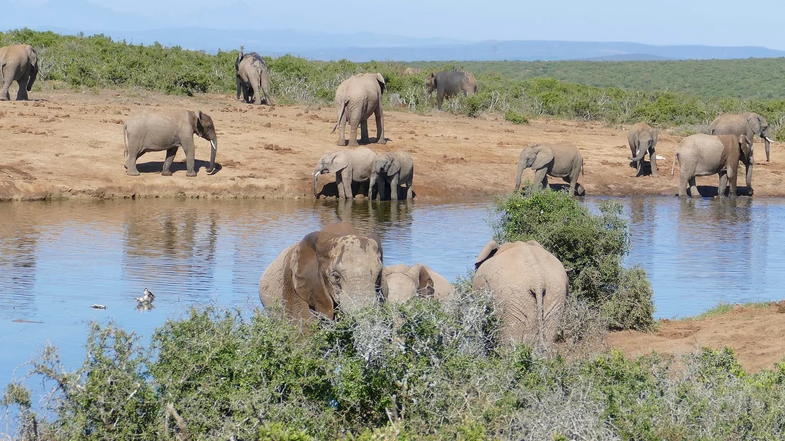
Animal Detection
From lab mice to African elephants, species identification built on a decade of research deployment.
Intrusion & Perimeter Detection
Virtual fences, zone violations, and perimeter breach alerts. Available for pilot across any secured boundary.
Use cases
Early Wildfire Detection
Tower-mounted cameras with pan-tilt-zoom capability can continuously scan forested areas for smoke columns, thermal hotspots, and flame signatures. Detection algorithms can distinguish wildfire smoke from fog, dust, and industrial emissions, providing fire dispatch centers with bearing, distance estimates, and visual confirmation from the camera feed.
Deforestation and Illegal Logging Detection
Periodic drone and satellite imagery can be compared against baseline datasets to detect unauthorized clearing, road construction, and selective logging patterns. Change detection reports can be generated with geolocated evidence for enforcement agencies and forest management authorities.
Logging Operation Safety Monitoring
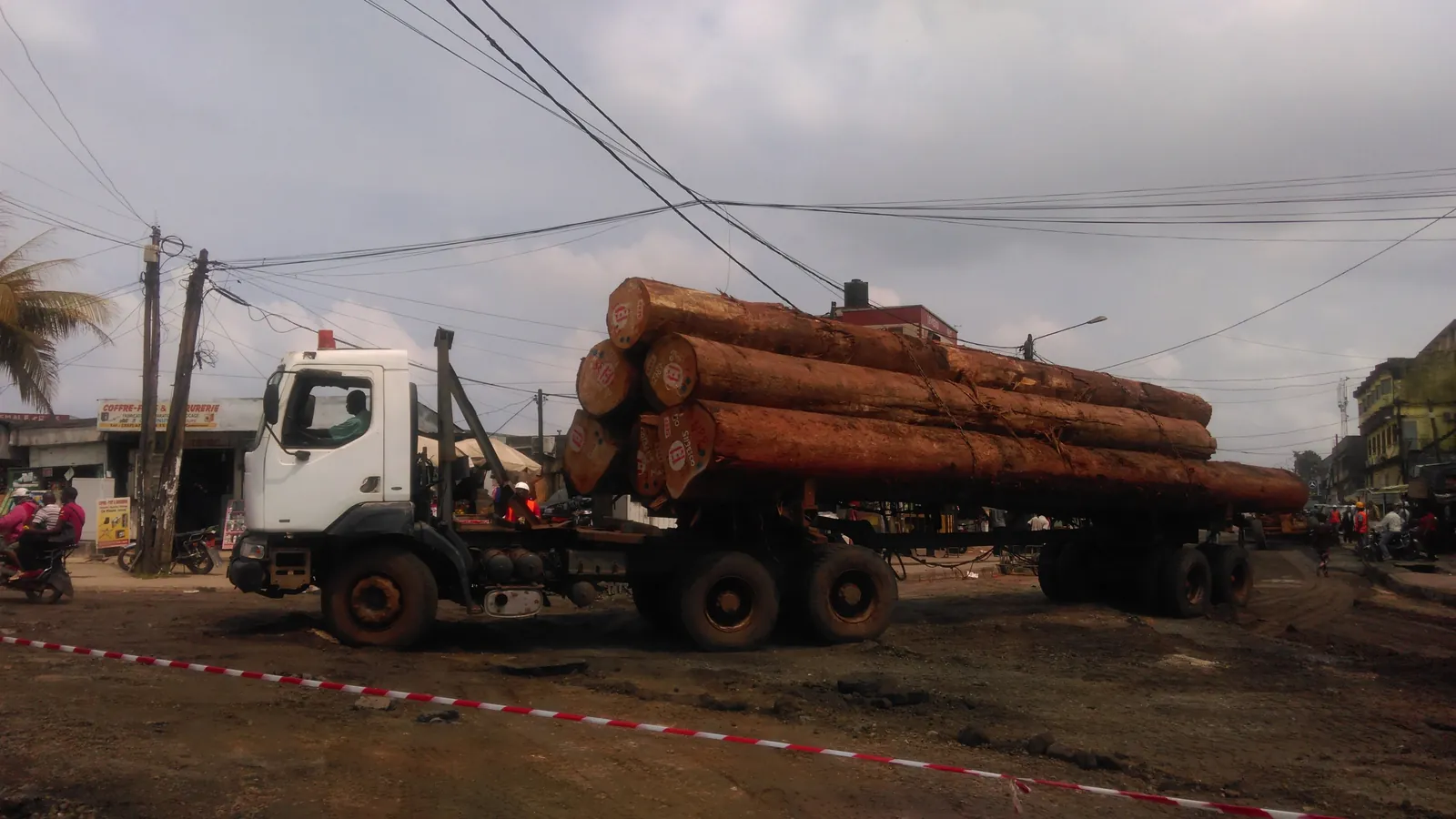
Cameras at active harvest sites can monitor felling exclusion zones, equipment operating clearances, and log landing operations. PPE compliance verification and proximity alerts can supplement on-site safety supervision, particularly at remote operations where supervisory visits are infrequent.
Wildlife Corridor Monitoring
Camera networks along designated wildlife corridors can track animal crossing frequency, species identification, and temporal usage patterns. Human encroachment, fence breaks, and road barrier effectiveness can be assessed continuously, providing conservation managers with data for corridor maintenance and expansion planning.
Reforestation Progress Tracking
Drone imagery can document replanting areas over time, measuring canopy closure rates, seedling survival, and competing vegetation encroachment. Visual progress reports can be generated for regulatory compliance documentation and conservation program reporting.
Watershed and Erosion Monitoring
Fixed cameras at stream crossings, road cut slopes, and riparian zones can detect sediment plume events, bank erosion, and road surface degradation. Time-series imagery can document erosion progression and the effectiveness of mitigation measures installed to protect water quality.
Integration ecosystem
Fire Dispatch and CAD SystemsForest Inventory and Management SystemsDrone Survey Platforms (DJI, senseFly)GIS Platforms (ArcGIS, QGIS, Google Earth Engine)Wildlife Management Databases
Related industries
Agriculture
Covered in the Agriculture section, with planning tools and equipment.
Energy & Utilities
Inspect generation assets, monitor grid infrastructure, and secure substations with vision analytics engineered for critical energy environments.
Government & Defense
Secure critical installations, monitor borders and perimeters, and protect government facilities with multi-layered visual intelligence.
Scope a forestry & natural resources monitoring pilot
Tell us about your sites and cameras; a ConductVision engineer replies with a scoping plan.