ConductVision Enterprise

Drone Detection

See, classify, and track unauthorized drones before they reach your perimeter. Available for pilot.

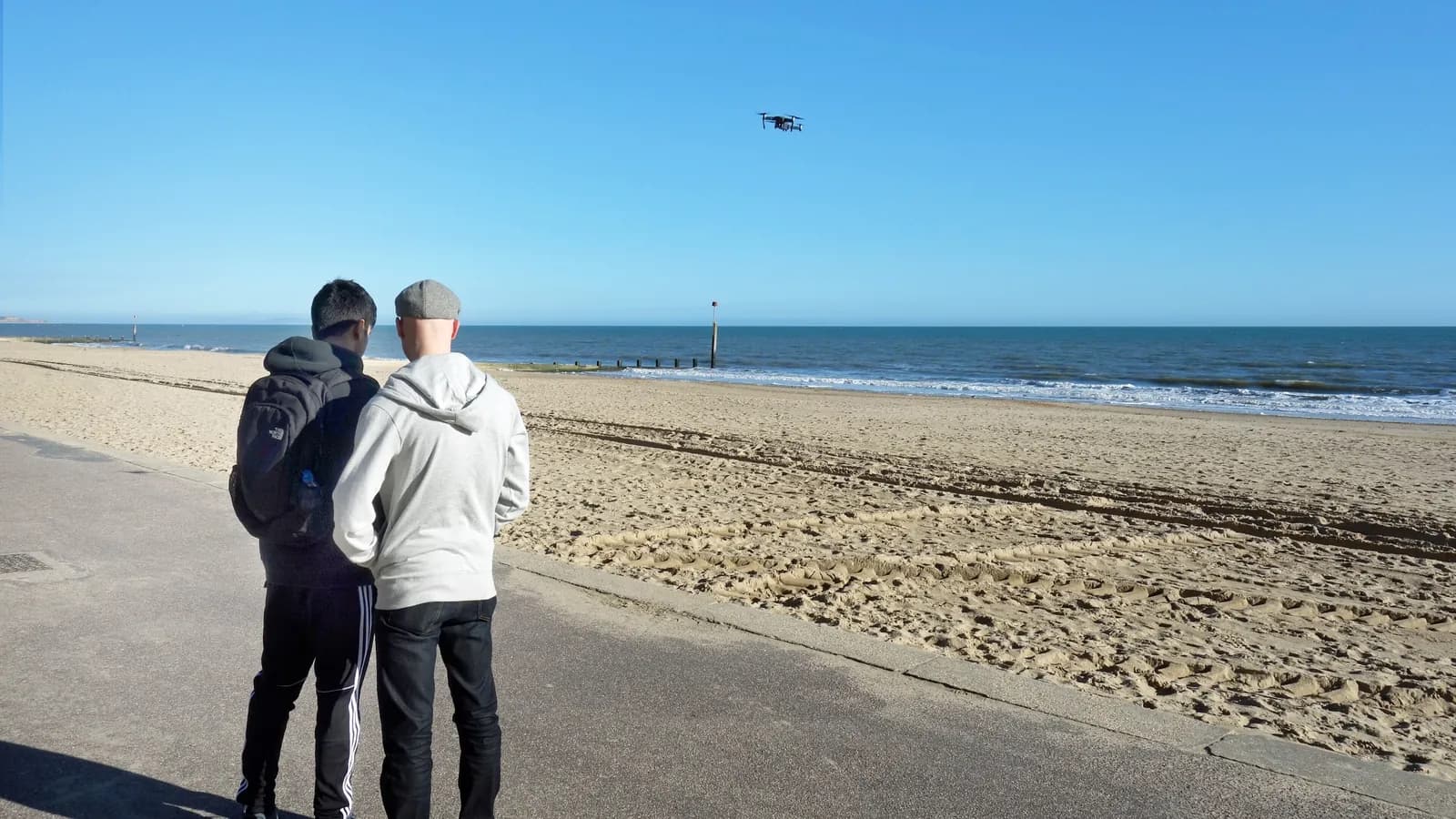
Example drone detection scene with an illustrative detection overlay
Illustrative detection overlay, drawn for demonstration. Not model output.

Drone Detection uses visual analysis to identify unmanned aerial vehicles in camera feeds, classify them by type (multirotor, fixed-wing, VTOL), and track their flight paths in real time. The system can establish virtual geofences around protected areas and alert when a drone enters the exclusion zone. It is designed as a detection and awareness tool, it does not jam, disable, or interfere with drones, as such actions are subject to regulations. By fusing visual detection with optional radar and acoustic sensor data, the platform can provide layered airspace awareness for critical facilities.

How it works

Drone Detection in three steps

Connect

Connect Surveillance Cameras

Position PTZ or fixed cameras to cover the airspace around your facility. The system supports standard IP cameras; long-range cameras with optical zoom extend detection range.

Analyze

Detect and Classify Drones

A specialized aerial-object detector identifies drone candidates against sky and cluttered backgrounds. Classification models determine drone type, and tracking algorithms build continuous flight path trajectories.

Act

Alert and Track

When a drone enters a defined geofence zone, security personnel receive alerts with live tracking on a map overlay. PTZ cameras can be commanded to follow the drone automatically for continuous visual tracking.

Features

Multi-Type Drone Classification

Distinguishes between multirotor (quadcopter, hexacopter), fixed-wing, and VTOL drones. Size estimation helps differentiate consumer, commercial, and custom-built platforms.

Flight Path Tracking

Tracks drone position frame-by-frame and plots flight paths on a facility map. Historical data reveals approach patterns and operator launch positions.

Virtual Geofencing

Define 3D exclusion zones around your facility. Alerts trigger when any drone enters the zone, with severity levels based on proximity to the protected area.

PTZ Auto-Follow

When paired with PTZ cameras, the system commands pan/tilt/zoom to track the detected drone automatically, maintaining a centered view for operator assessment.

Multi-Sensor Fusion

Optionally integrates visual detection with radar tracks and acoustic sensors for layered detection. Visual confirmation validates radar contacts, reducing false alarms from birds.

Bird vs. Drone Discrimination

Classification models distinguish drones from birds based on flight dynamics, shape, and size. This reduces false alerts in environments with heavy bird activity.

Incident Replay and Forensics

All detection events are recorded with full video, flight path data, and timestamps. Exportable reports support incident investigation and regulatory reporting.
Use cases

Airport Perimeter Protection

Unauthorized drones near airports pose severe safety risks. Visual detection can provide an additional awareness layer for air traffic control and airport security, complementing radar-based systems.

transportationgovernment

Prison and Correctional Facility Security

Drones are used to deliver contraband over prison walls. Detection and tracking can provide advance warning to security staff, with flight path data aiding investigation of delivery attempts.

governmentlaw enforcement

Critical Infrastructure Protection

Power plants, water treatment facilities, and data centers need to detect surveillance or sabotage drones. The system can provide 24/7 airspace monitoring around facility perimeters.

energyutilitiescorporate

Event Venue Airspace Security

Large outdoor events are vulnerable to unauthorized drone overflights. Detection can provide event security with real-time awareness and evidence for post-event enforcement.

eventsgovernment

Military and Government Facilities

Sensitive facilities require continuous airspace monitoring. Visual detection can supplement electronic warfare systems with positive visual identification of aerial threats.

governmentdefense

Border and Perimeter Surveillance

Long perimeters are difficult to monitor for small, low-flying drones. Camera networks with drone detection can provide automated coverage across extended boundaries.

governmentlaw enforcement

Technical overview

Models
YOLOv8-S optimized for small-object aerial detection, with EfficientNet drone classifier
Input formats
RTSP, ONVIF, MP4, HLS, PTZ control protocols (Pelco-D, ONVIF PTZ)
Output formats
JSON, MQTT, Webhooks, KML flight paths, integration with C-UAS platforms
Edge support
NVIDIA Jetson Orin for field deployment, ruggedized outdoor enclosures, PoE powered

Accuracy and latency are measured against your footage and cameras during pilot scoping; we publish figures only with the conditions they were measured under.

Evaluate Drone Detection on your footage

One prioritized outcome, your cameras, a structured results review.