ConductVision Enterprise

Mining & Quarrying

Protect personnel, monitor heavy equipment, and measure material volumes across surface and underground operations with continuous visual intelligence.

Mining & Quarrying operations

Mining operations present some of the most hazardous working conditions in any industry, with blast zones, haul road traffic, unstable rock faces, and confined underground passages all demanding constant vigilance. Traditional safety monitoring relies on manual observation, radio communication, and periodic inspections that leave critical gaps during shift changes and in remote areas of the pit or tunnel network. ConductVision's technology can layer real-time visual analytics onto existing camera infrastructure across open-pit and underground mining environments, providing continuous blast zone clearance verification, haul road collision avoidance, stockpile volumetric estimation, and personnel tracking in confined spaces.

The challenge

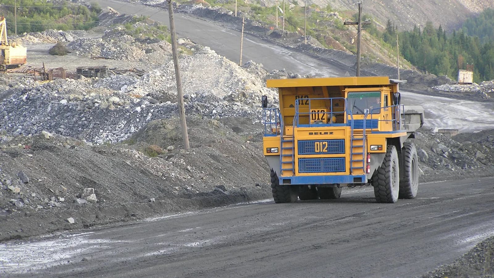
Mining sites operate across sprawling, multi-level geographies where visibility is obstructed by dust, weather, and terrain. Haul trucks and heavy equipment share roads with light vehicles and personnel, creating collision risks that intensify during shift changes and low-visibility conditions. Blast zone clearance verification depends on manual headcounts and radio confirmation, and stockpile measurement requires periodic surveyor visits that produce data already stale by the time it reaches production planners.

Our approach

ConductVision can process feeds from pit-rim cameras, haul road intersections, portal entries, and drone overflights to detect personnel in exclusion zones, monitor vehicle proximity on haul roads, verify blast zone clearance before detonation sequences, and generate volumetric estimates of stockpiles from multi-angle imagery. Underground camera networks can track personnel location and detect ventilation anomalies, cap lamp status, and equipment positioning in real time.

Use cases

Blast Zone Clearance Verification

Cameras positioned around blast perimeters can scan for personnel, vehicles, and livestock within exclusion zones before shot-firing sequences. Visual confirmation of zone clearance can supplement radio roll-call procedures, providing an independent verification layer that reduces the risk of incomplete evacuations.

Haul Road Collision Avoidance

Intersection cameras can detect light vehicles, personnel on foot, and equipment approaching haul road crossings simultaneously. Proximity alerts can be issued to dispatch and displayed on road-side warning systems when separation distances fall below configurable thresholds, particularly during low-visibility conditions caused by dust or rain.

Stockpile Volumetric Measurement

Multi-angle cameras and periodic drone imagery can generate three-dimensional point clouds of material stockpiles. Volume estimates can be updated daily or on-demand, providing production planners with current inventory data without waiting for manual survey schedules.

Underground Personnel Tracking

Cameras at portal entries, refuge chambers, and key intersections can track personnel entering, moving through, and exiting underground workings. Real-time location data can improve emergency muster accuracy and ensure that exclusion zones in active headings are respected during blasting and ground support operations.

Equipment Monitoring and Utilization

Visual tracking of excavators, loaders, haul trucks, and drill rigs can capture operational states including active digging, hauling, idling, and maintenance downtime. Utilization metrics by equipment type and shift can inform fleet optimization decisions and rental versus purchase analysis.

Slope Stability Visual Monitoring

Fixed cameras on pit walls can capture imagery at regular intervals for change detection analysis, identifying bench crest movement, tension crack development, and surface water drainage issues. Progressive deformation can be tracked over days and weeks, providing geotechnical engineers with visual evidence to supplement prism and radar monitoring.
Integration ecosystem

Fleet Management Systems (Wenco, Modular Mining)Mine Planning Software (Deswik, Surpac)SCADA and Ventilation Control SystemsDrone Survey Platforms (Propeller Aero, DJI Terra)Safety Management Systems (INX InControl, SAP EHS)

Scope a mining & quarrying monitoring pilot

Tell us about your sites and cameras; a ConductVision engineer replies with a scoping plan.