

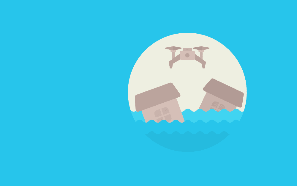
Unmanned aerial vehicles or drones are a disruptive technology that has the potential to transform business, agriculture, leisure, medicine, and surveillance. Particularly, drones offer unique opportunities for dam surveying and large-scale structure monitoring. Note that dams play a crucial role in water resources development and management and dam surveying is essential to ensure human and environmental health. From irrigation and hydropower to water supply and flood control, both single and multi-purpose dams are critical to economic growth and global health.
Additionally, dam safety has become a relevant topic over the years. In the US alone, the State Dam Safety Program reported 173 dam failures and 587 incidents between 2005 and 2013 (Ridolfi et al., 2017). Note that the most common causes of dam accidents include:
Therefore, vulnerability assessment and monitoring of dams are paramount to prevent catastrophes and ecological crises. With a combination of advanced sensor equipment, flexible communication systems, and compact designs, drones can be successfully implemented in dam surveying and visual evaluation of large-scale structures and hard-to-reach areas. Moreover, robotic vehicles are fast and cost-effective tools, which can facilitate dam 3D modeling and improve health and safety regulations across the globe.
Unmanned aerial technology can be employed in drone surveying and 3D modeling. Due to varying hydrostatic levels and hard-to-reach areas, surveying dams and other large-scale structures can be a challenging task. However, drones can be used to provide essential information via ground control points and dense point clouds. Note that control points are vital in traversing and geo-referencing to establish network control and evaluate higher-dimensional objects. Dense point clouds, on the other hand, are essential in 3D modeling and topography to provide high flexibility and fidelity data.
To evaluate the benefits of drones for dam surveying, Ridolfi and colleagues (2017) assessed the accuracy of dam models obtained by drone surveys. The research team performed evaluations at Ridracoli dam in Italy, focusing on the availability of its water resources. Note that the Ridracoli dam has the following specifications:
Additionally, Ridolfi and colleagues (2017) performed an analysis on the upstream face of the dam and created a 3D framework for geometry recreation, vulnerability evaluation, as well as static and dynamic analyses. Note that one of the main techniques employed in the study was the Structure from Motion (SfM) technique, which is an innovative technology used in the development of 3D models from 2D images. Findings showed that drone technology could surpass traditional topographic methods and provide accurate data for dam surveying. Drones provide dense point clouds, accounting for vertical elevation, vegetation, and the actual ground underneath the construction.
Unmanned aerial technology or drones can be effectively employed in dam surveying and 3D modeling. As explained above, such data can support geometry recreation and static and dynamic analyses in vulnerability studies. Apart from dam surveying, drones can be used to evaluate a wide range of dam projects:
The possibility of accessing hard-to-reach areas and providing visual evaluations make drones an attractive and cost-effective technology. Such technology can be employed not only in dam surveying but in the assessment of other large-scale structures:
Unmanned aerial vehicles can be utilized in dam and large-scale building surveying to improve human and environmental health. By ensuring bridge inspection and dam safety, drones can collect paramount data to prevent catastrophes, such as accidents, flooding, and cracking. Drones can also support watershed restoration and aquatic balance, as well as the development of health and safety regulations.
Drones can be employed in epidemiology research for the monitoring of deforestation and other agricultural expansion, a phenomenon that can lead to a zoonotic spread. Fornace and colleagues (2014), for instance, revealed that drones could be used to assess land and deforestation activity in Malaysia, which influenced the zoonotic spread of malarial parasites.
Drones can support dam surveying and even surpass satellite data in the evaluation of soil erosion, landslides, and glacier movement. Additionally, drones can perform a variety of photogrammetric operations to improve human and environmental health. Unmanned aerial technology can be used to detect accidents, gas, and radiation around water basins and mines and prevent hazards from pathogens. Interestingly, drones equipped with high-resolution photogrammetry software can access and predict cancer risk from high levels of pollution and copper levels in agricultural areas (Capolupo et al., 2015).
Unmanned aerial vehicles or drones are a disruptive technology that can reshape agriculture, surveying, medicine, and infrastructure. The use of drones for dam surveying, in particular, is increasing globally. Evidence shows that drones provide accurate and real-time data which can be used for 3D models of dam surveying and vulnerability analyses. As explained above, dam surveying is paramount as dams play a crucial role in water resource development and watershed restoration.
With innovative technologies, such as Structure from Motion, photogrammetric functions, dense point clouds, and infrared cameras, robotic aerial technology has the potential to surpass traditional topographic methods and satellite data across a wide range of settings. Drones and 3D modeling can be employed not only in dam surveying, but the evaluation of large-scale structures, tall buildings, bridges, soil erosion, and glacier movement.
With the advancements in unmanned aerial technology, drones harness dam surveillance, water resources management, as well as safety and health regulations.


Monday – Friday
9 AM – 5 PM EST
DISCLAIMER: ConductScience and affiliate products are NOT designed for human consumption, testing, or clinical utilization. They are designed for pre-clinical utilization only. Customers purchasing apparatus for the purposes of scientific research or veterinary care affirm adherence to applicable regulatory bodies for the country in which their research or care is conducted.